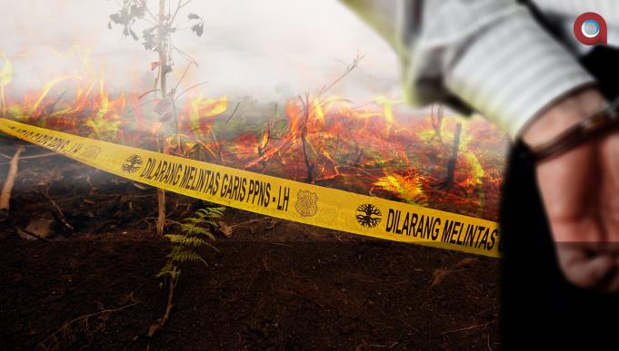
Jakarta, Aktual.com – Start the spread of forest fires and land (Karhutla). National Disaster Management Agency (BNPB) called the cause of the fire remains the same namely combustion accidentally.
“Cause karhutla remains the same, namely due to carelessness and arson. That is intentional burned,” said Head of Data, Information and Public Relations BNPB Sutopo Purwo Nugroho, Sunday (13/3) night.
Based on Modis satellite observations from NASA’s Aqua Terra sensor, said Sutopo, there are 151 hotspots detected in parts of Indonesia on Sunday (13/3) at 05.00 pm.
Distribution hotspot karhutla is East Kalimantan (76), Riau (45), Aceh (11), North Borneo (7), Central Sulawesi (2), Gorontalo (2), South Sulawesi (2), South Sumatra (1), North Sumatra (1), North Maluku (1), and East Java (1).
The hotspots (hotspots) in Riau are scattered in Bengkalis (16), Indragiri Hulu (2), Meranti Islands (20), Pelalawan (4), Rokan Hilir (1), and Siak (2). While the 76 hotspots in East Kalimantan scattered in Berau District 9, Kukar 16, East Kutai 50, and Bontang 1.
“Indeed karhutla in Riau and East Kalimantan has lasted nearly three weeks with a fluctuating number of hotspots. The total number of hotspots in East Kalimantan, more than in other regions in Indonesia,” said Sutopo.
According to him, there are anomalies, where karhutla previously in East Kalimantan is relatively small compared to the others. Karhutla which occurred in February 2016, not only burn the forest and gardens but the orangutans endangered species were burned.
Artikel ini ditulis oleh:


